How scientists track narwhals
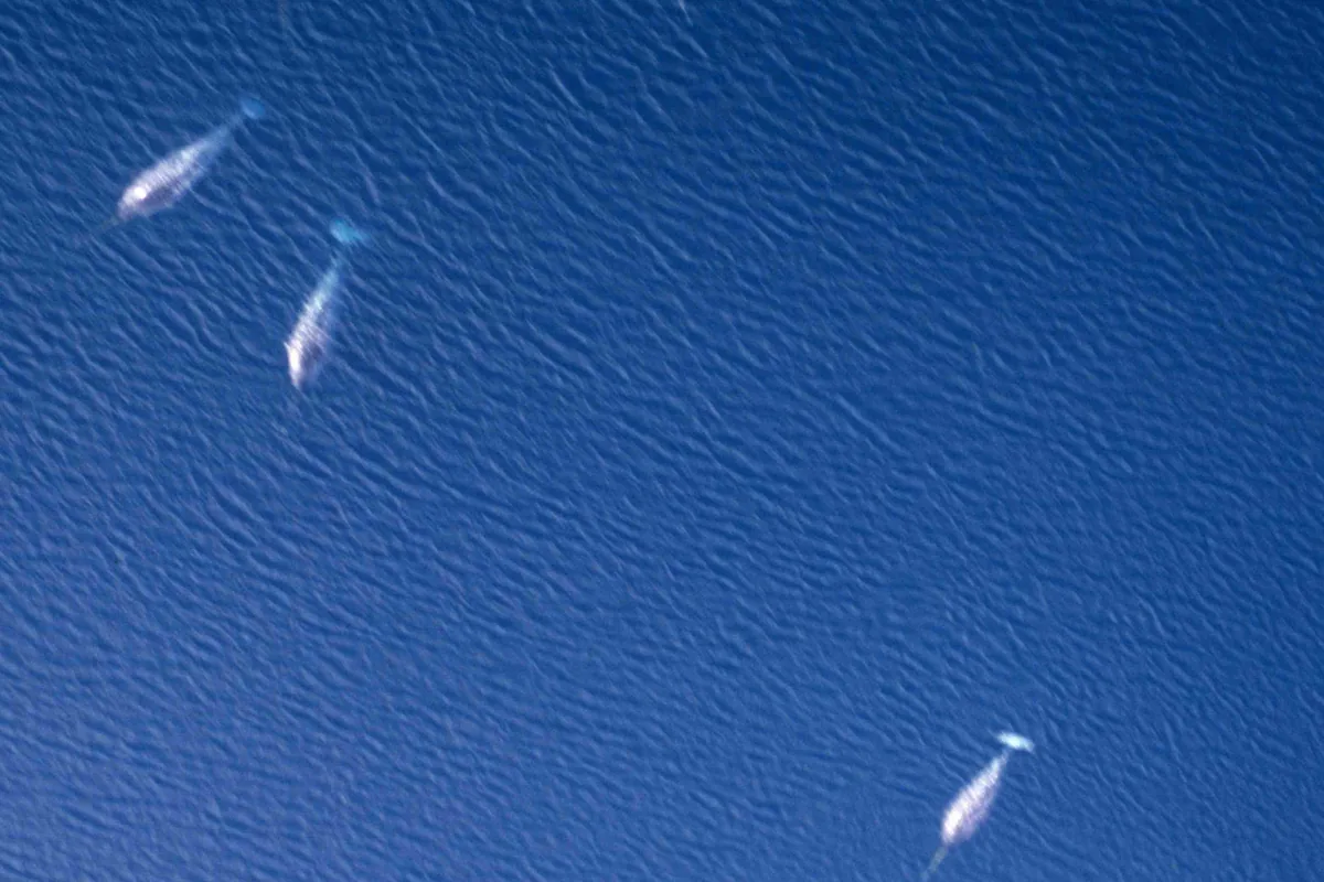
See all narwhal pictures & images →
Studying narwhals presents significant challenges because the animals live in remote, ice-covered Arctic waters and spend much of their time diving deep beneath the surface. These conditions make direct observation difficult, so scientists rely on a combination of specialized tools and methods to learn about the species.
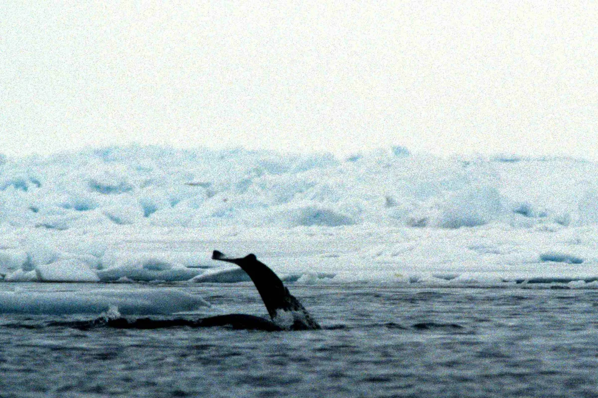
Satellite tags are among the main tools researchers use. The tags are attached to individual narwhals during careful capture-and-release operations, allowing scientists to follow the animals over extended periods and map their migrations and diving behaviour. Aerial and shipboard surveys complement this work by helping researchers estimate population sizes across broader areas.
Passive acoustic recorders offer another approach, detecting the clicks and calls narwhals produce underwater to reveal where and when the animals are present without requiring direct contact. Together, these methods — satellite tags, surveys, and acoustic recorders — form the core of narwhal research efforts.
Researchers also work closely with Inuit communities, whose long-term observations of narwhal movements and behaviour provide essential context that scientific instruments alone cannot capture. This collaboration between local knowledge and technological methods helps build a more complete picture of how narwhals live and move through Arctic waters.
Sources: NOAA Fisheries — Narwhal; IUCN Red List — Narwhal (Monodon monoceros). Educational information only. See our sources & fact-check policy.
Frequently asked questions
Main tools of the how scientists track narwhals?
Satellite tags, surveys, acoustic recorders
Local knowledge of the how scientists track narwhals?
Inuit observations inform research
More in Narwhal
Explore more Arctic wildlife
Compare the narwhal with the beluga, bowhead, orca, walrus, and polar bear in our quick-facts table.
Compare Arctic species →